One of RoofSnap’s core features has always been accurate measurements, whether you use our DIY tools to do the measuring or choose to order a measurement report from us. In both cases, we need good imagery of the structure; we can’t measure what we can’t see! So what exactly makes imagery “good” for measurements, and why don’t we use just any imagery on the web? We’ll answer those questions and more in today’s blog.
Aerial vs. Satellite vs. Drones
There has been a move away from the satellite imagery that dominated measuring and site-surveying for the previous decade. There’s a couple of reasons for this, the main one being quality. No matter how good the camera on a satellite may be, it’s still in outer space. By being closer to the earth’s surface, a high-quality camera on an airplane is going to capture a clearer, sharper image. That’s the type of imagery you see from companies like Nearmap, whose imagery we proudly feature in our software.
 Updated imagery like this doesn’t come from a satellite
What about imagery from a drone? With drone-captured imagery, you have the same problem you have with satellite captures, distance. Drone cameras historically have had wide-angle lenses, causing distortion of rooflines at low altitudes. We have no problem with drone-captured imagery, it’s often the best, and sometimes the only source for rural addresses that lack coverage by satellite and aerial imagery. to overcome the distortion, we suggest flying your drone to a minimum altitude of 400 feet. At that height, any visible distortion should be negligible, and you can make good use of your up-to-date drone imagery! That leads us to our next point…
Keep your imagery current
If the property you’re looking at hasn’t changed in the last ten years, then out-of-date imagery is… okay. But if you’re working on newer homes or anything in a storm-prone area, you’re going to want the latest imagery available. We offer multiple fly-over dates for most structures, updates as frequently as twice a year, and we’re always expanding our coverage areas.
See what it’s like to choose the best imagery for your project.
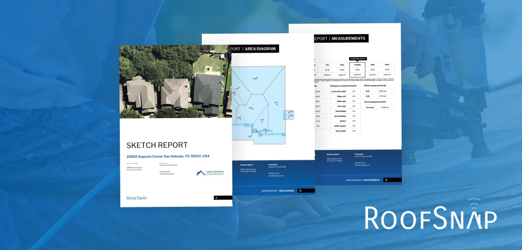
Having up-to-date imagery means that you can measure the property with confidence prior to your sales appointment. Arriving with an accurate, professional measurement report not only speeds up your sales process, but it shows that your company is capable, modern, and ready to get to work.
When things get in the way
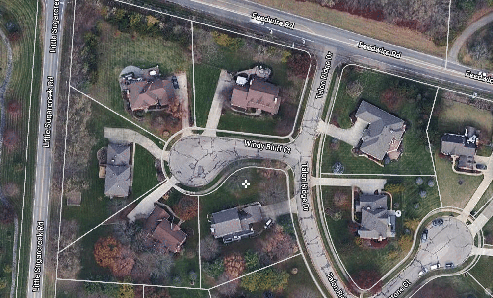
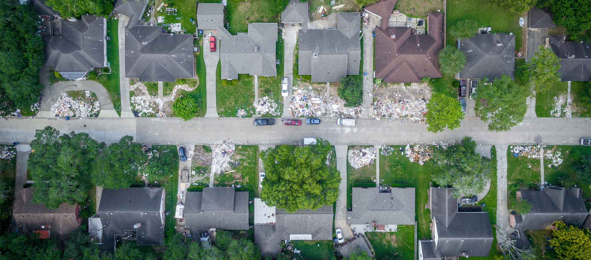
One major concern with any imagery source is an obstruction between the camera and the subject, as we’ve detailed in previous blog posts. This is an issue with almost every worthwhile imagery source, aside from architectural drawings. We have not found a way to see through trees, yet. Between our multiple images per-address, supplemental imagery, and an on-site look at the property, you’ll be able to sketch most addresses.
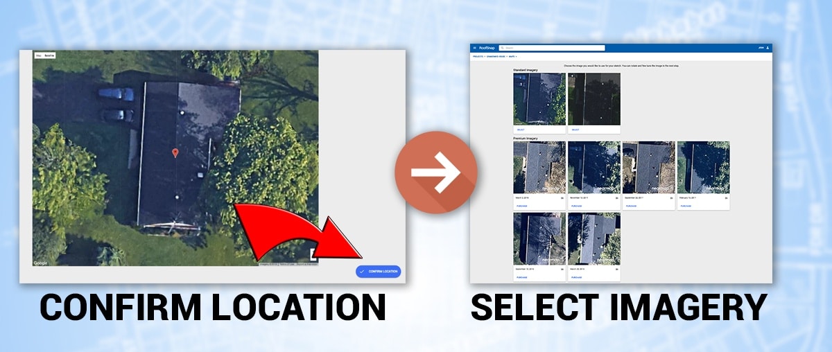 RoofSnap makes choosing the best image for your measurement fast and easy!
We’re always researching ways to get your measurements faster and easier, and that includes improvements to our imagery sources and measurement tools. Stay tuned to our blogs, emails, and social media outlets for our latest updates and feature releases. If you’d like to see a demonstration of anything we mentioned in this blog, schedule a quick demo with our sales team and get live answers to your questions.
And as always,
Happy Snapping!